
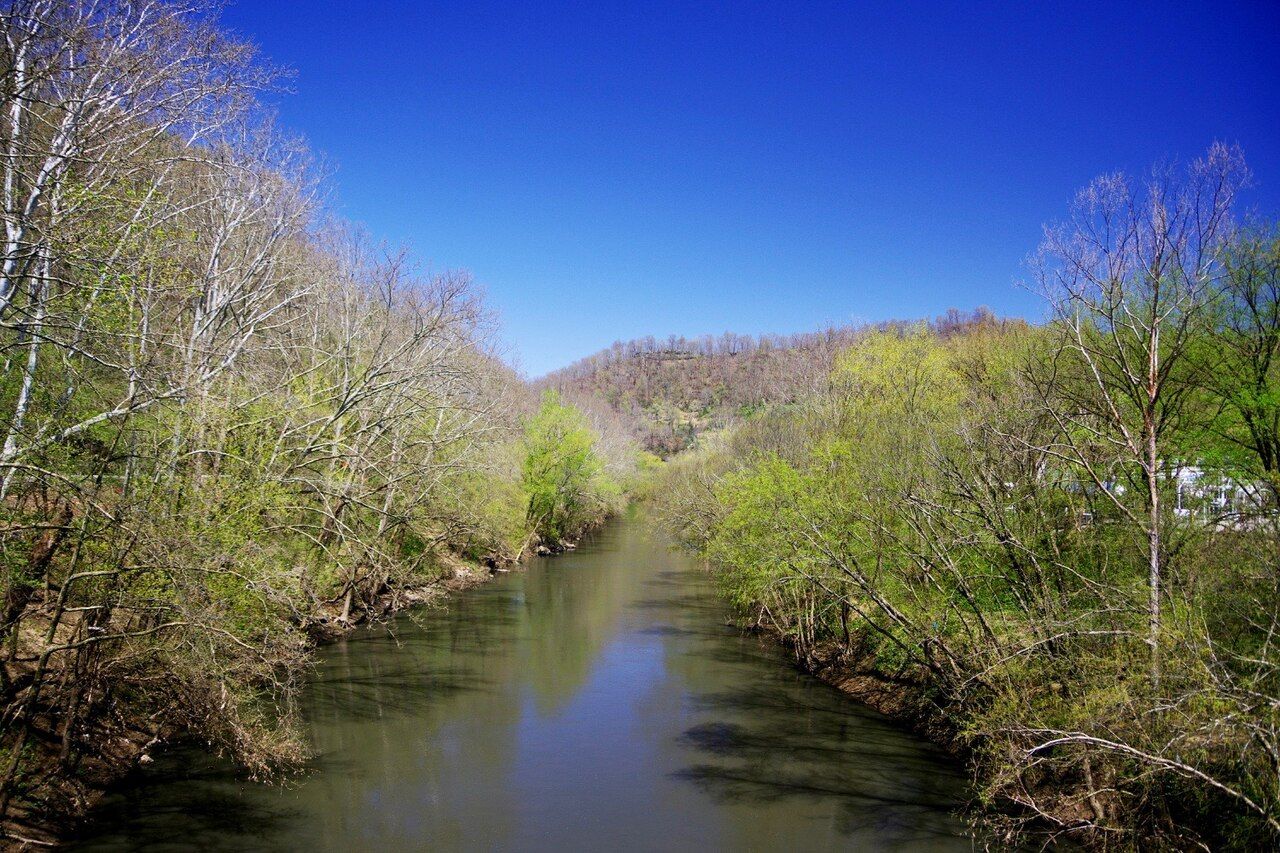

Every story in this valley comes back to the river. The Tug Fork is not wide, and in late summer you can see rocks across much of its bed. Yet for well over a century it has been a state boundary, a railroad route, a flood threat and the dividing line of the most famous family quarrel in American history. Drive along it for an hour and you start to see how much one modest river decided.
Where the river runs
The Tug Fork rises in the mountains of southern West Virginia, in McDowell County, near the Virginia line. It runs northwest for roughly a hundred and fifty miles through a deep, winding valley, passing Williamson and Matewan, before joining the Levisa Fork at Louisa, Kentucky, and Fort Gay, West Virginia. Together the two forks form the Big Sandy River, which flows on to the Ohio.
For most of its length, the Tug is the boundary between Kentucky and West Virginia; near its headwaters it also runs along part of the Virginia line. Its valley is narrow and steep-sided, with little flat ground. That shortage of level land explains a great deal: towns crowd the bottoms, roads hug the banks, and the railroad takes whatever flat shelf is left.
A line drawn on water
When Virginia's western counties broke away to form West Virginia during the Civil War, the Tug became a state line between two different governments. In ordinary years, that meant little to the families on either bank. They crossed to visit, to trade, to court and to vote, and kin lived on both sides. In the feud years, though, the line mattered enormously.
A killing on the Kentucky bank was a matter for Pike County courts; a killing on the West Virginia side fell to Logan County, which then included today's Mingo County. After the August 1882 election-day fight on the Kentucky side, the Hatfields took the three McCoy brothers across the river before killing them. Later, Kentucky officers and private posses crossed into West Virginia to seize Hatfield men, which led to a quarrel between governors and, eventually, a case in the US Supreme Court. Those episodes are told in election day 1882 and the Grapevine Creek story.
The river, in short, decided whose law applied. It also made pursuit and escape easy: a short wade could put a man under a different state's warrant.
Another stop · Tug ValleyThe Hatfield-McCoy feud in briefFloods and floodwalls
The Tug's narrow valley makes it prone to sudden, severe floods. Heavy rain on steep, thin-soiled slopes runs off fast, and there is nowhere for the water to spread. Major floods hit the valley several times in the twentieth century, and the flood of April 1977 was the most destructive. Water rose deep into Williamson, Matewan and many smaller communities, destroying homes and businesses up and down the river.
In the years that followed, the US Army Corps of Engineers carried out a long flood-protection program in the valley. Williamson and Matewan were ringed with floodwalls, and some low-lying communities were moved or bought out. Today you see the results everywhere: concrete walls with steel gates across roads and tracks, raised houses, and empty lots where homes once stood. In Williamson and Matewan, the walls are painted with murals of local history.
Rails along the bank
In the early 1890s, the Norfolk and Western Railway built its line down the Tug valley, mostly on the West Virginia side, to carry coal from the Pocahontas field west toward the Ohio River. The railroad changed everything. Coal camps appeared in the side hollows, towns grew around stations and yards, and the valley's isolation ended within a few years.
Trains still run on that line. From the river roads you will often see long strings of coal cars following the curves of the water, and in places the tracks, the road and the river run side by side for miles. For more on that history, read our story of coal and the Norfolk and Western.
On and beside the water
The Tug is a working river rather than a recreation showcase, but people do fish and paddle it. Anglers fish for bass, catfish and panfish in its pools, and stretches with easy access see some canoe and kayak traffic in good water. Conditions vary a great deal with rainfall: what is a pleasant float in spring can be too shallow in August or dangerous after heavy rain.
- Check the rules. Fishing licenses and regulations differ between Kentucky and West Virginia, and the river is a shared boundary.
- Check the water. Look at gauge levels and the weather before any paddle, and never go out on high or rising water.
- Respect the banks. Much of the riverbank is private land, and some is railroad property. Use public access points only.
- Mind the water quality. The river's condition has improved, but heavy rain can carry runoff. Avoid swimming after storms.
Seeing the river from the road
The best way to know the Tug is to drive beside it. US 52 and WV 49 on the West Virginia side, and US 119 and smaller state roads on the Kentucky side, follow the water for long stretches. Bridges at Williamson, Matewan and other towns let you cross between states and see the valley from both banks.
Pull off only where there is a proper shoulder or marked lot. The roads are narrow, the curves are blind, and coal trucks and local traffic move fast. Late spring, when the ridges are green and the water runs clear, and October, when the hills turn color, are the best seasons to drive. For a route that links the river towns with the feud sites, see our driving plan for feud country.
Stand on any bridge over the Tug and you can look across into another state close enough to call to. That closeness is the river's whole story: near enough to cross in a few steps, distant enough to change which law you lived under.