
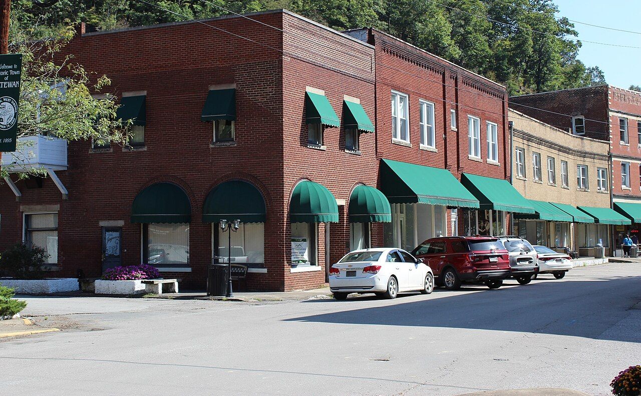

Matewan is small enough to walk from end to end in a few minutes, and dense enough to hold you for a full day. Two separate histories run through it. The first belongs to the feud, whose most violent chapter of 1882 played out on the riverbanks nearby. The second belongs to coal, and to a single afternoon in May 1920 when a gunfight on Mate Street killed ten people and pushed southern West Virginia toward open war. The town keeps both stories, and it keeps them plainly.

Feud country around the town
The town of Matewan did not exist under that name during the feud's early years; the railroad brought it into being around 1890, and its name is usually traced to Matteawan, a town in New York. The ground around it, though, is the core of feud country. Blackberry Creek enters the Tug from the Kentucky side just across the river. In August 1882, after the election-day fight in which Ellison Hatfield was mortally wounded, three of Randolph McCoy's sons were held and then taken across to the West Virginia side. When Ellison died, they were tied to pawpaw bushes and shot. The site lies in the hills on the West Virginia bank near the mouth of Blackberry Creek. The full account is in our telling of election day 1882.
Many visitors begin a feud drive here because Matewan sits close to both sides. The McCoy country on Blackberry Creek is a short drive across the river into Kentucky, and the Hatfield ground runs up the West Virginia hollows. For the wider story, start with the feud in brief.
19 May 1920: the Matewan Massacre
By 1920, Matewan was a coal town in the middle of a hard union fight. Miners in the Tug Valley had joined the United Mine Workers, and coal operators answered by firing union men and evicting them and their families from company-owned houses. Many operators hired the Baldwin-Felts Detective Agency, based in Bluefield, to carry out those evictions and to break strikes.
On 19 May 1920, a group of Baldwin-Felts agents arrived by train and evicted several miners' families near town. As they prepared to leave, they were met by Matewan's police chief, Sid Hatfield, and its mayor, Cabell Testerman, who disputed the agents' authority. Armed miners had gathered nearby. Accounts differ on who fired first. Within minutes, ten people were dead: seven agents, including Albert and Lee Felts, brothers of the agency's co-founder Thomas Felts, two miners, and Mayor Testerman.
The record after that day is clear. Sid Hatfield and others were tried for the killings and acquitted in 1921. That August, Hatfield and his friend Ed Chambers were shot dead by Baldwin-Felts agents on the courthouse steps in Welch, the McDowell County seat, where they had gone to answer a separate charge. Their killing was one of the sparks for the miners' march on Logan County and the Battle of Blair Mountain that followed. That story continues in our account of the mine wars.
Eviction meant more than losing a house. In a company town, the company owned the ground under almost every roof, so a fired union man and his family had nowhere nearby to go. Tent colonies went up along the Tug during the long strike that followed, and families lived in them through the winter and into 1921.
The story reached a much wider audience in 1987, when a feature film named for the town retold the strike and the shoot-out. Like most films, it compresses and changes events; the markers and the museum stay closer to the record.
Another stop · Mingo CountyAfter the feud: the mine wars of southern West VirginiaThe town keeps both stories, and it keeps them plainly.
What to look for on Mate Street
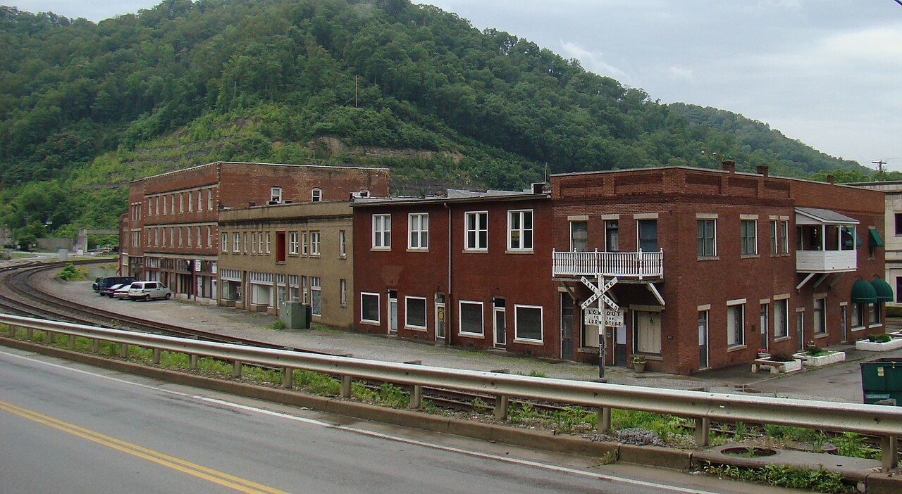
The core of town is a single commercial street facing the railroad tracks, with a few cross streets and the floodwall beyond. Matewan's historic district, a National Historic Landmark, covers much of this core.
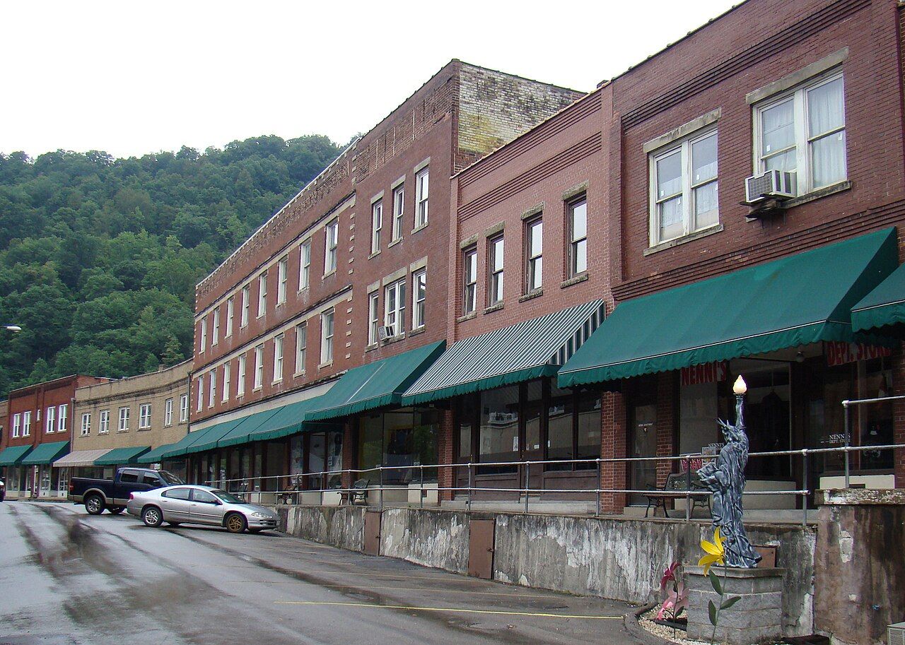

- The bullet marks. One of the old brick buildings on Mate Street still shows marks in its wall that are attributed to the 1920 shoot-out. Markers point them out.
- The depot. A depot building beside the tracks stands near where the agents waited for their train. It has served as a visitor and history center; check whether it is open.
- The West Virginia Mine Wars Museum. A small museum on Mate Street tells the story of the strikes, the massacre and Blair Mountain, with objects from the period. Hours are limited and seasonal.
- The floodwall murals. After the great 1977 flood, the town was ringed with a floodwall. Its river-facing and town-facing panels carry murals of Matewan's history, including feud figures and the 1920 events.
- State markers. Historical markers around town summarize both the feud and the massacre.
The river, the wall and the road
The Tug Fork bends past the town on its southern side, with Kentucky across the water. Matewan was badly hit by the April 1977 flood, and the floodwall that followed changed how the town meets the river. Gates close across the roads when the water rises, and you will see the openings set into the concrete as you drive in. To understand that relationship along the whole valley, read our guide to the Tug Fork.
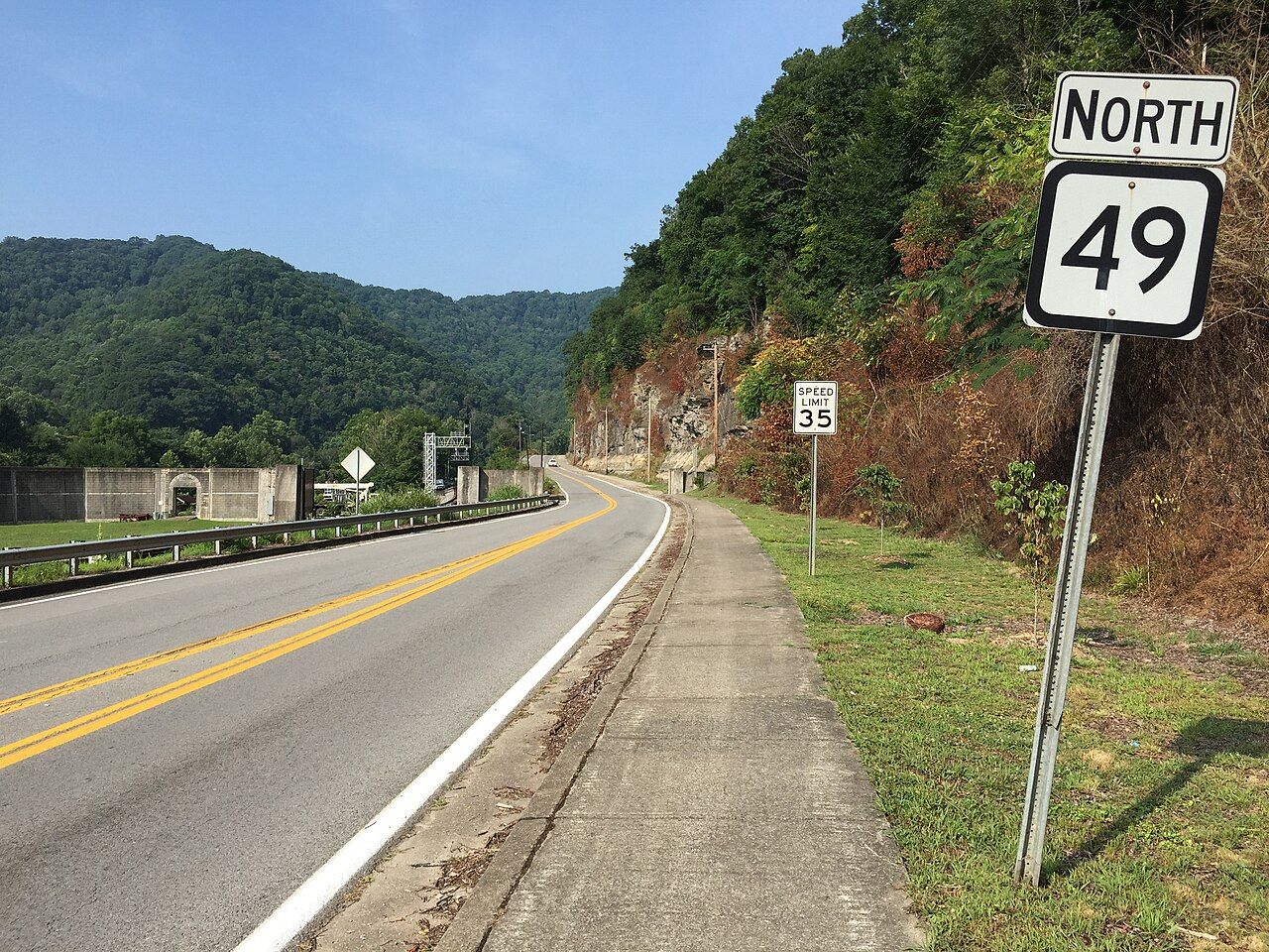

WV 49 follows the river past the town, and coal trains still run along the tracks beside Mate Street. Crossings close often and for long minutes, so leave time and do not try to beat a train.
If you have a few extra minutes, cross the bridge to the Kentucky bank and look back. From there you see the floodwall, the brick fronts and the ridge rising straight behind them, and you understand how little flat ground the town has ever had to work with.
Matewan, slowly
Matewan works well as a half day or a full day, depending on how much reading you like to do. A good order is to start at the depot and the markers by the tracks, walk Mate Street to the bullet marks and the museum, then follow the floodwall murals. In the afternoon, drive out to the feud sites on both sides of the river.
April, May, September and October are the kindest months for these roads. The hills are green by late April and turn color in October; summer brings humid heat in the narrow valley, and winter makes the side roads unreliable after snow or ice. Phone signal is patchy outside town, so download maps before you head up the hollows.
Respect the town as a lived-in place. People live and work on these streets, the cemeteries nearby belong to families, and the events of 1882 and 1920 involved real people whose relatives still live in the valley. Read the markers, take your photographs from public ground, and let the place tell its own story.
Back to Tug Valley towns